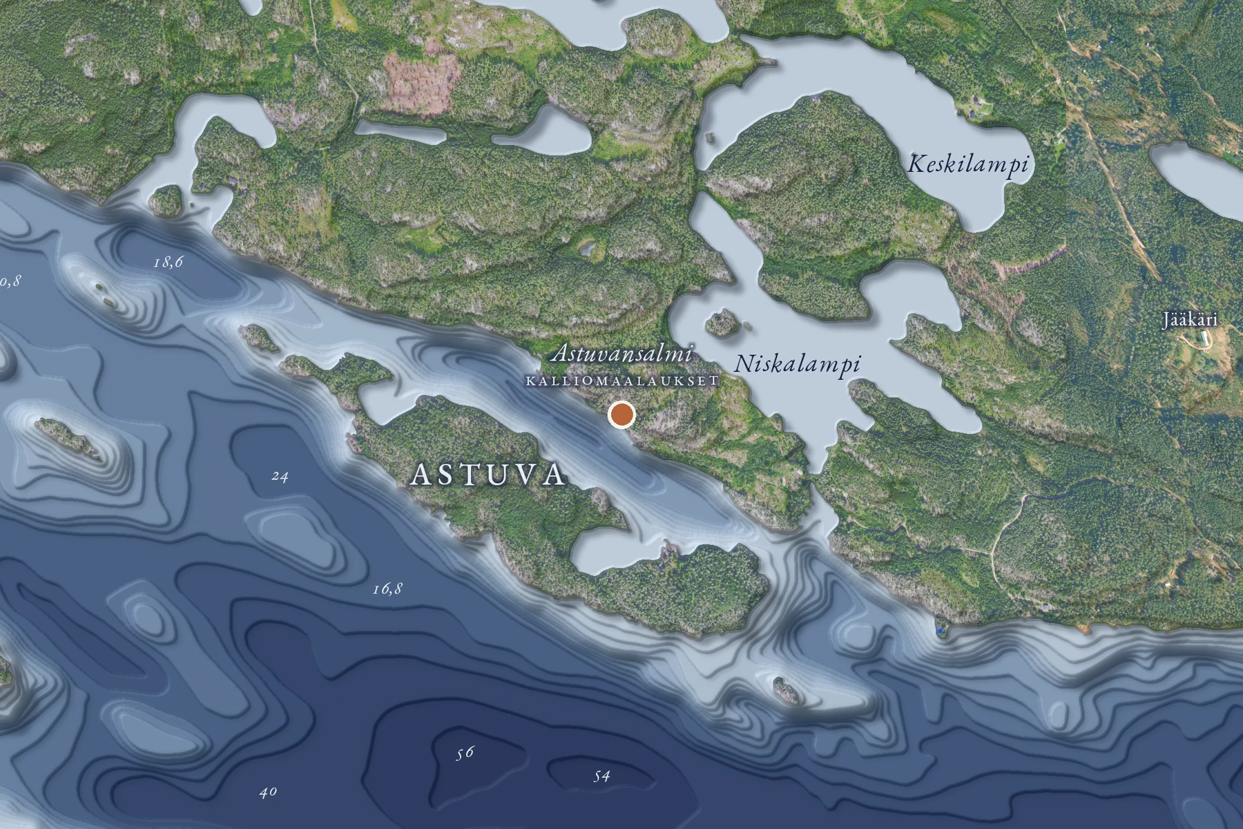

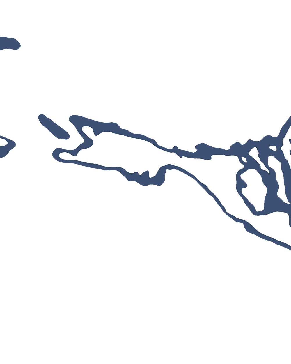
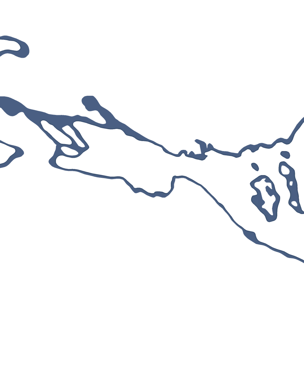
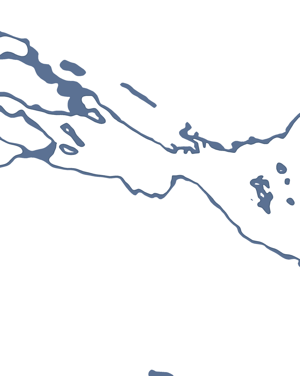
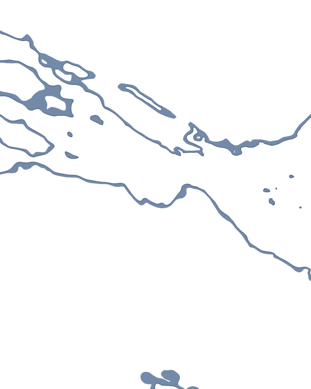


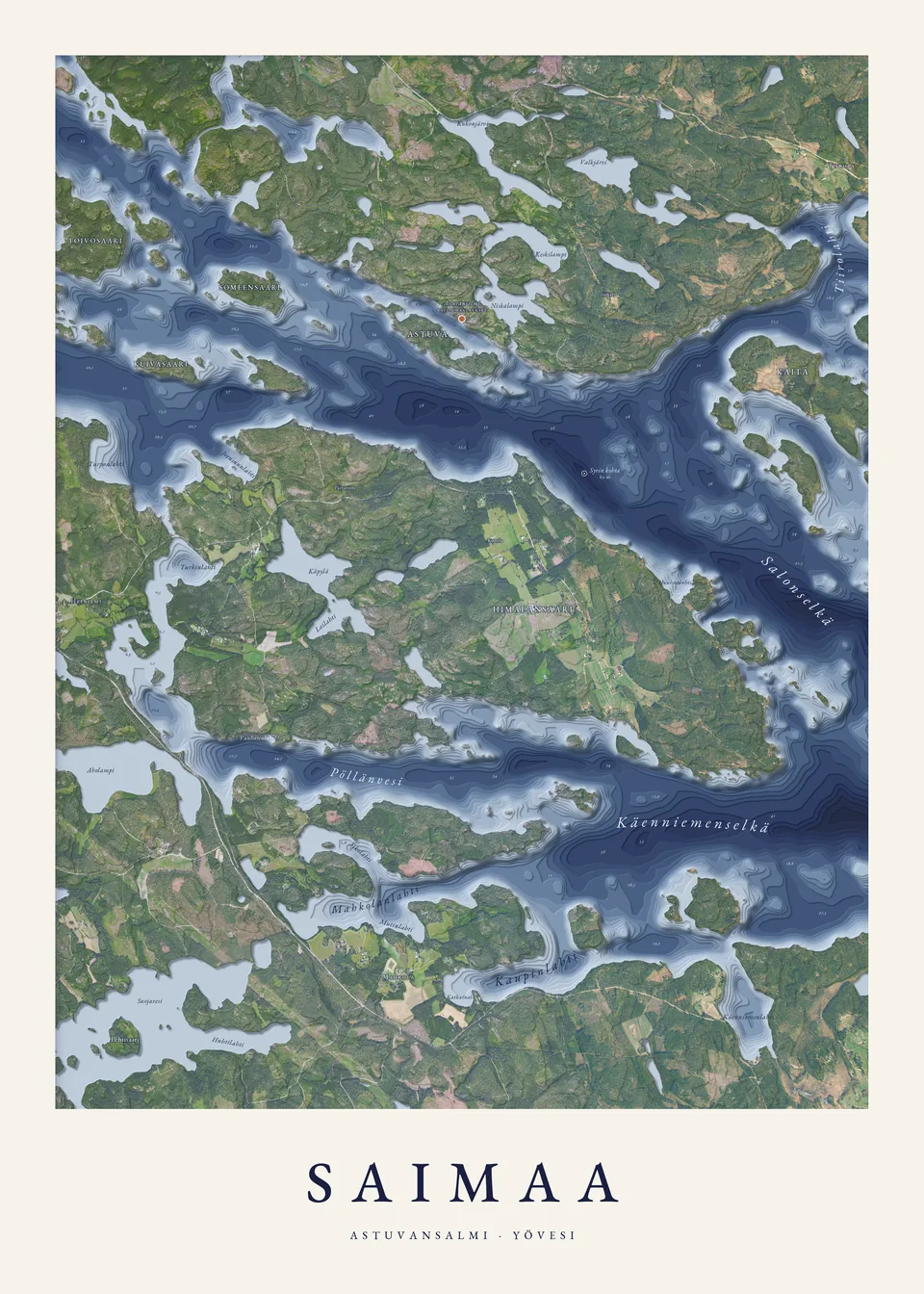
Layers with aerial photo
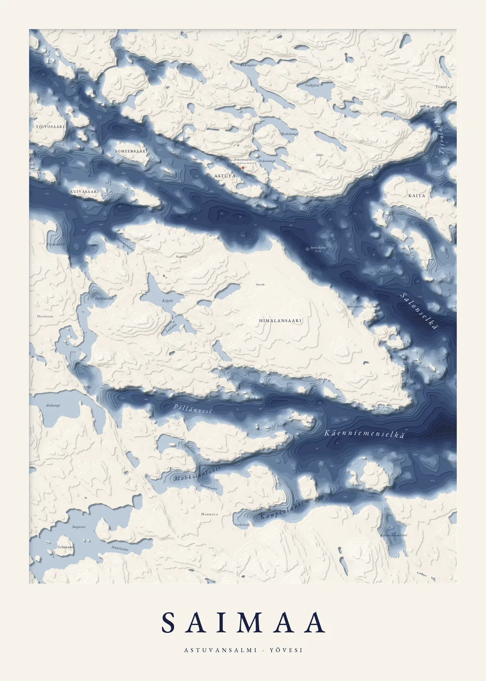
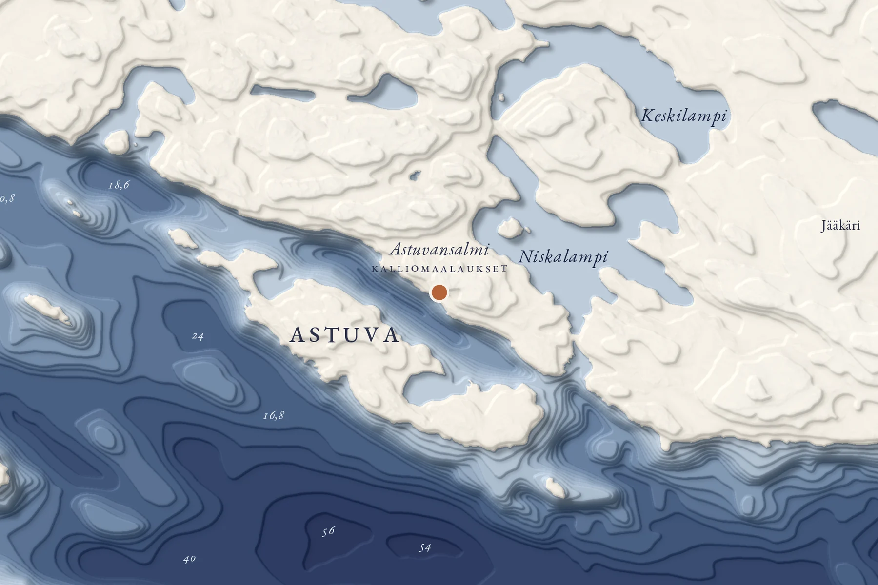
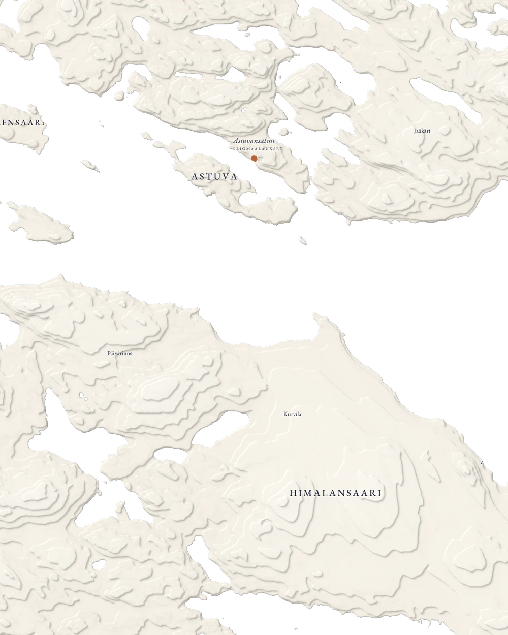
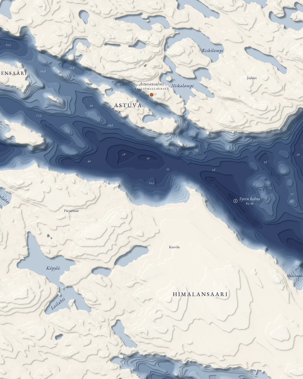
The lakebed is drawn in up to 19 depth layers, and the shadows along their edges make the flat poster look three-dimensional. The land shows the National Land Survey's aerial photo in full colour: forests, fields, roads and houses.